


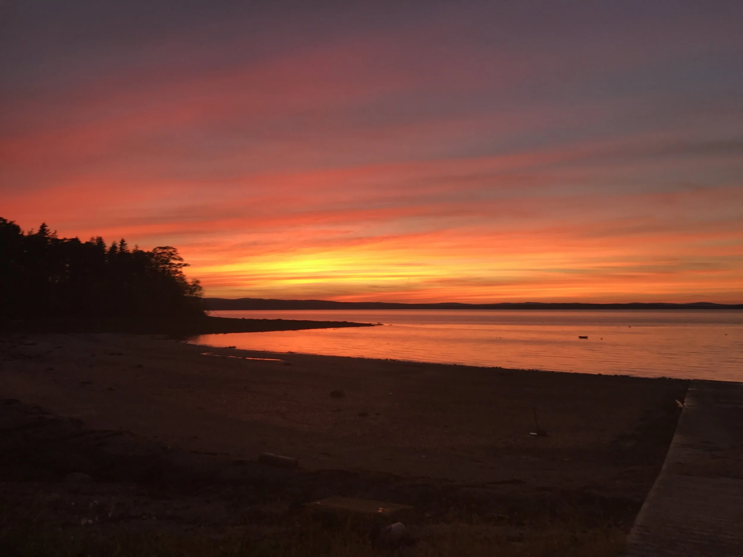

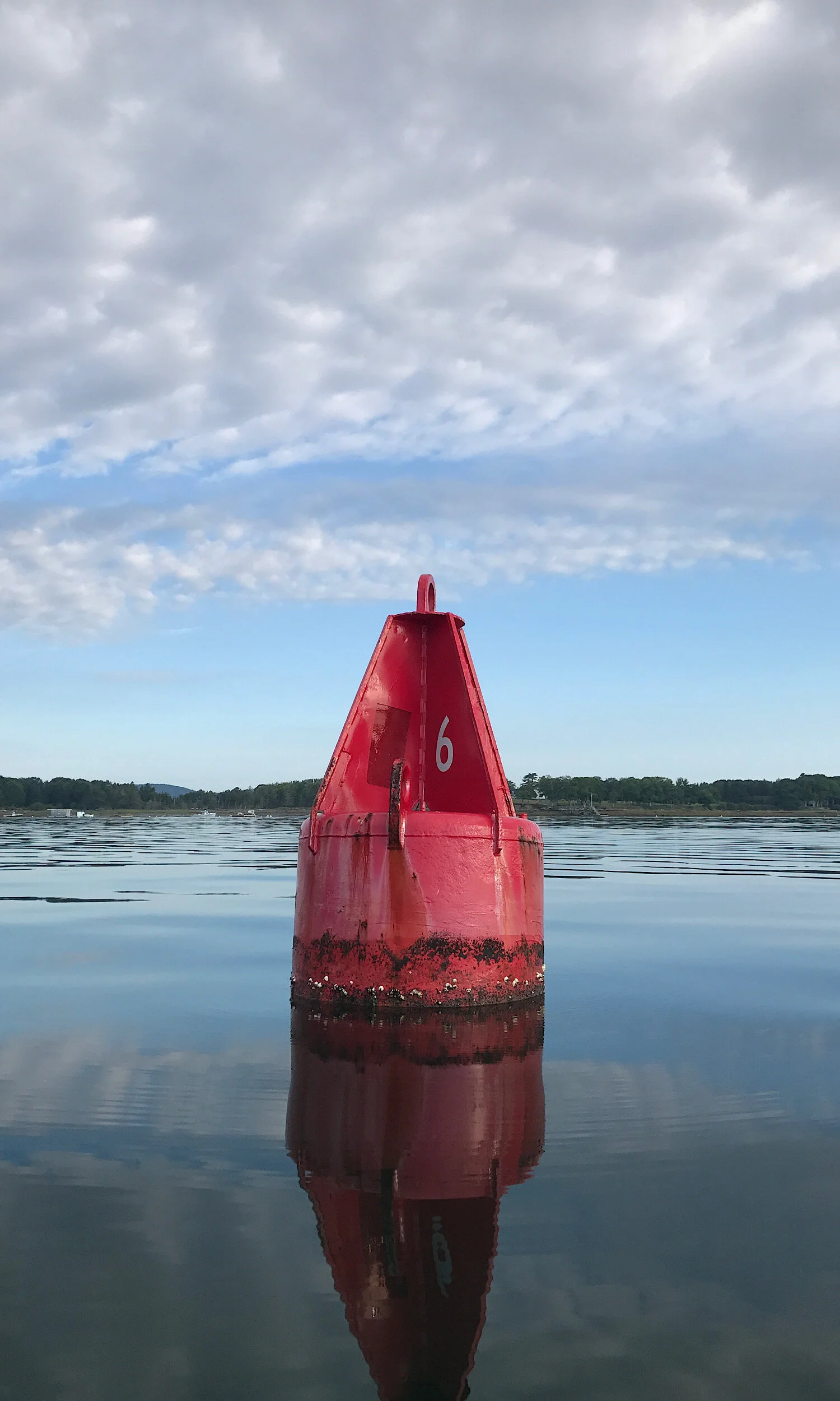
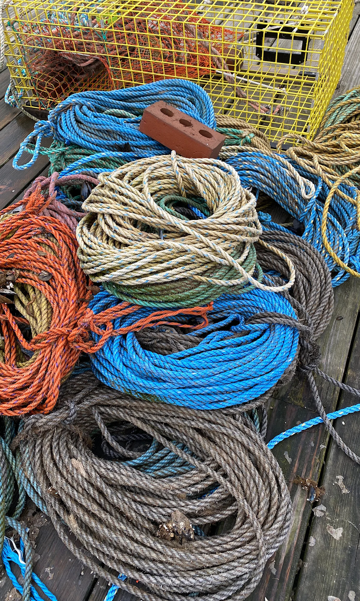

Set in the heart of upper Penobscot Bay, Islesboro is a narrow, 14-mile-long island located about three miles off the coast of Maine. The island is connected to the mainland by the Maine State Ferry Service, with daily crossings between Grindle Point and Lincolnville Beach aboard the Margaret Chase Smith.
Positioned between East and West Penobscot Bay, Islesboro has always been shaped by the water surrounding it. Long before European settlement, the Penobscot and Mi’kmaq peoples knew the island as Pitaubegwimenahanuk — “the island that lies between two channels.” Over time, it was also known as Long Island and Islesborough before becoming Islesboro.
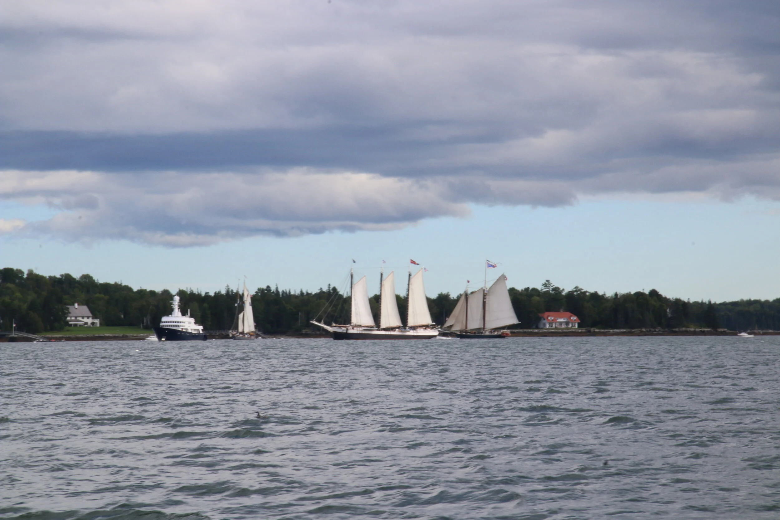
Settled by fishermen and farmers and incorporated in the late 1700s, Islesboro developed a strong maritime economy. Its many protected coves and harbors helped make it home to one of Penobscot Bay’s largest commercial shipping fleets during the 19th century.
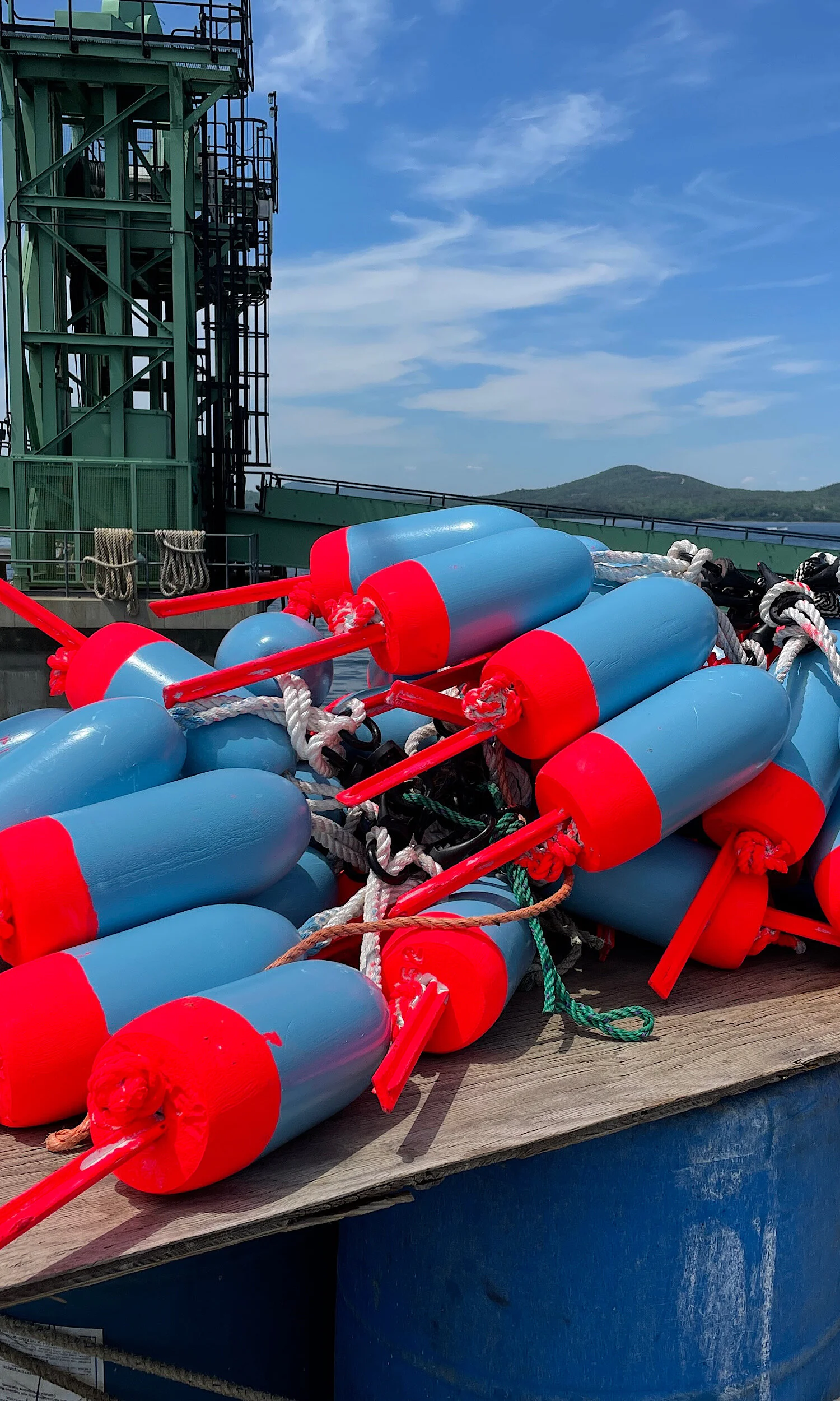
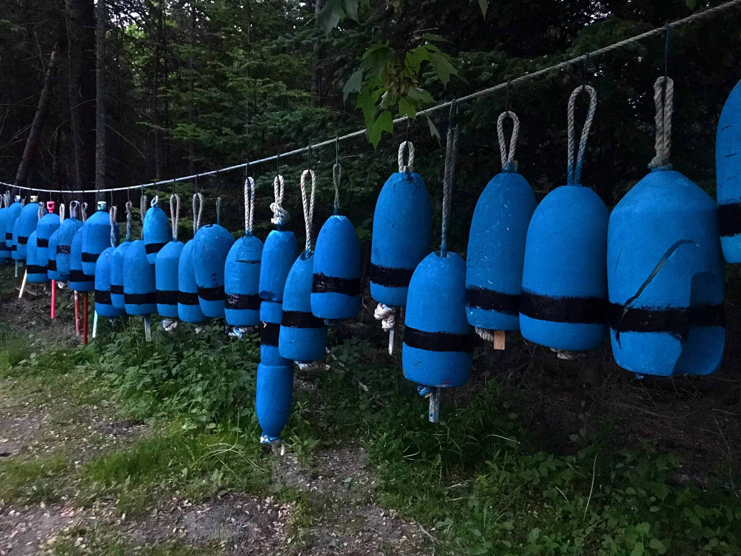
Fishing has remained woven into island life for generations. Early fishermen set nets for salmon and haddock and fished trawls for cod. Herring weirs became an important part of the island’s waterfront in the early 1900s, while clamming and, later, lobstering provided livelihoods for generations of island families.
Like many working waterfront communities in Maine, those industries continue to change. Green crab predation has significantly affected local soft-shell clam populations, while warming waters and a changing Gulf of Maine create new questions for the future of the lobster fishery.
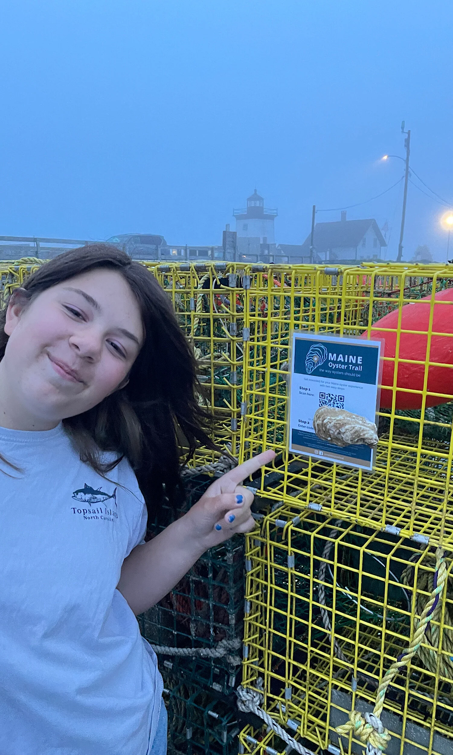
Today, Islesboro remains a small but vibrant year-round island community with deep ties to fishing, farming and the working waterfront. Those traditions are also evolving. Aquaculture offers another way for island families to continue making a living from the water—growing oysters, kelp and other species while carrying Islesboro’s long relationship with Penobscot Bay into the next generation.